2 Timbers

Things to Do Near Packwood, WA

Hike, ski, fish, and explore near Packwood, Washington. White Pass Ski Resort is 15 minutes away and Mount Rainier is 3 miles up the road. Trails, ATV, and outdoor adventures for every season.

White Pass Ski Resort
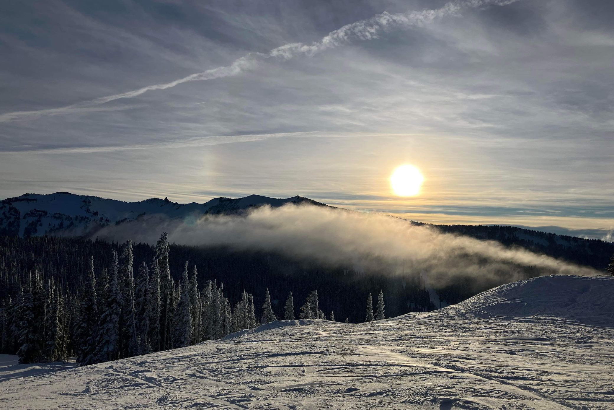
Low winter sun over a cloud inversion at White Pass, with snow-covered trees and freshly groomed runs in the foreground

Just 15 minutes away, White Pass invites you to make the most of your mountain day — whether you're chasing first chair or easing into a slow, peaceful start. Experience winter adventure surrounded by stunning views of Mt. Rainier as you ski or ride through Paradise Basin. Tackle thrilling terrain on West Ridge or explore the scenic slopes of Pigtail Peak. With its welcoming, family-friendly atmosphere, White Pass offers the perfect blend of excitement and relaxation for every level of skier and snowboarder.

White Pass Ski Area →

White Pass mountain report

Seasonal
Live webcam view from High Camp at White Pass Ski Area
High Camp webcam — image courtesy of White Pass Ski Area.
  • Mountain tempSee forecast
  • ConditionsSee forecast
  • From the cabins~15 min
  • Base lifts8:45a–4:00p

White Pass runs a winter season, typically late November into early April. Opening day moves with the snow, and the day's open lifts and runs are posted on the mountain's own report.

Owners' tip: for princess parking, leave the cabin before 7:15 a.m.

Mount Rainier National Park

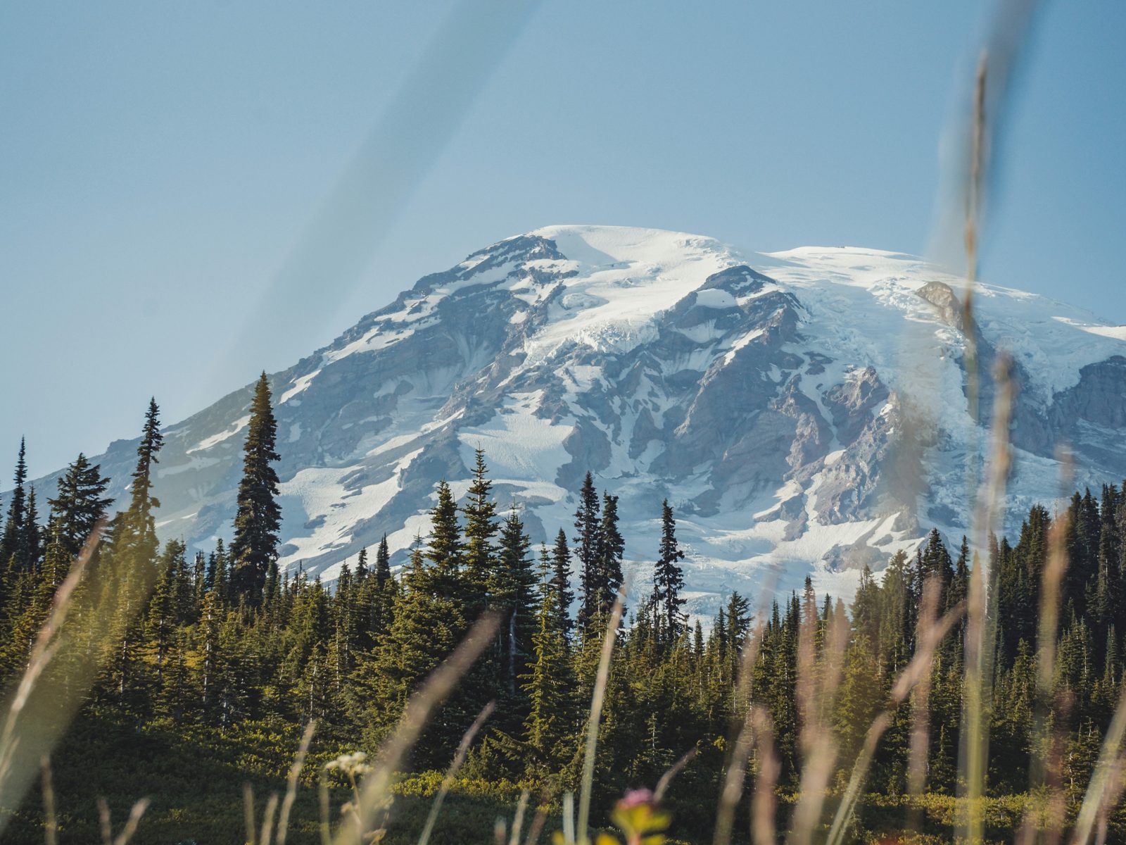
Wildflower meadows below Mount Rainier

Just 3 miles from State Route 123, you'll enjoy unparalleled access to Mount Rainier National Park, one of Washington's most breathtaking destinations. Rising 14,410 feet above sea level, Mount Rainier dominates the skyline as the most glaciated peak in the contiguous United States, feeding five major rivers. Subalpine meadows filled with wildflowers surround its icy slopes, while ancient forests blanket the lower elevations. With abundant wildlife and endless trails to explore, Mount Rainier offers a lifetime of wonder and discovery for every adventurer.

Mount Rainier National Park (U.S. National Park Service) →

Paradise conditions

Check alerts
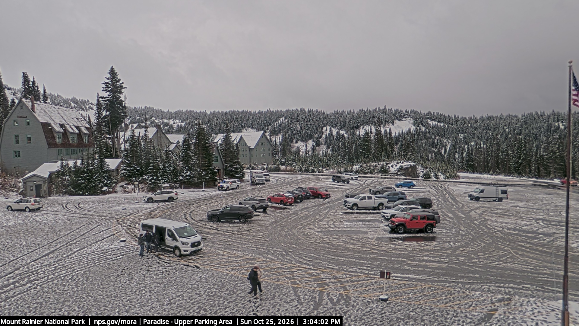
National Park Service webcam looking over the Upper Parking Area at Paradise, Mount Rainier
Paradise Upper Parking Area — National Park Service park webcams.
  • Paradise tempSee forecast
  • ConditionsSee forecast
  • To the park3 miles

That camera looks at the Upper Parking Area — the lot that fills first on a clear day. If it is already packed, you will know before you make the drive.

🌲 Top Hiking Trails within 20 Minutes

1. Snowgrass Flat Trail

  • Distance from Packwood: ~7 miles SE
  • Length: ~8.5 miles round trip (extendable)
  • Highlights: Stunning wildflower meadows, views of Goat Rocks, Mount Adams, and Mount St. Helens.
  • Difficulty: Moderate to challenging
  • Best Time: July–September (after snowmelt)

2. Packwood Lake Trail

  • Trailhead: Packwood Lake Trailhead (NF-1260)
  • Distance from Packwood: ~4 miles east
  • Length: ~8 miles round trip
  • Highlights: Serene lake views, old-growth forest, moderate elevation gain.
  • Difficulty: Moderate
  • Best Time: May–October

3. Three Lakes Trail

  • Distance from Packwood: ~8 miles SE (near Johnson Creek Road)
  • Length: ~12 miles round trip
  • Highlights: Multiple alpine lakes, wildflowers, optional overnight camping.
  • Difficulty: Moderate to difficult
  • Note: Often combined with Snowgrass Flat for a backpacking loop.

4. Tatoosh Wilderness – Goat Creek Trail

  • Trailhead: Goat Creek Trailhead
  • Distance from Packwood: ~7 miles N
  • Length: 6–10 miles (depending on route)
  • Highlights: Forested trail leading to alpine ridges and meadows.
  • Difficulty: Moderate

5. Cora Lake Trail

  • Distance from Packwood: ~7 miles W
  • Length: ~3 miles round trip
  • Highlights: Short, family-friendly hike to a beautiful alpine lake surrounded by huckleberries and fir trees.
  • Difficulty: Easy

6. Purcell Mountain Trail

  • Distance from Packwood: ~9 miles S
  • Length: ~6 miles round trip
  • Highlights: Forest hike with panoramic ridge views of Goat Rocks Wilderness.
  • Difficulty: Moderate

7. Angel Falls Trail (Lower Cispus Area)

  • Distance from Packwood: ~10 miles SW
  • Length: ~1.2 miles round trip
  • Highlights: Waterfall views, lush green forest, quiet setting.
  • Difficulty: Easy
🗺️ Bonus tip: If you're visiting in summer, check trail conditions at the Cowlitz Valley Ranger Station in Packwood — snow can linger late into July on higher elevation routes.

Stay 3 miles from the park

Tall Timber and Tiny Timber are two A-frame cabins in Packwood, booked direct with the owners.

Check availability